Luxury & Commercial Real Estate Drone Photography in Lubbock
Vantage Drone’s aerial property videography & real estate drone photography in Lubbock puts your West Texas property in its best light.
Elevated Marketing
Maximize Property Appeal with Real Estate Drone Photography in Lubbock
Vantage Drone’s premiere drone photography is ideal for highlighting the unique features of commercial and luxury properties. From retail centers and office spaces to high-end residential homes, our high-resolution aerial imagery captures every detail that sets your property apart. Whether showcasing stunning architecture, prime locations, or expansive amenities, our visuals help attract buyers, tenants, and investors. With our real estate drone photography, your property stands out in the competitive West Texas market—creating a lasting impression and elevating your marketing efforts. According to research from the National Association of Realtors, enhanced visuals like aerial imagery can significantly improve listing engagement and buyer interest.
Commercial Facilities
Highlight the Scale of Your Industrial Facilities Across the South Plains
Vantage Drone’s aerial photography is perfect for capturing the scale and complexity of industrial properties across West Texas such as warehouses, distribution centers, and manufacturing facilities. Our high-resolution aerial visuals provide a complete view of the property, highlighting essential features like infrastructure, loading areas, and surrounding access points. By showcasing the full scope of your industrial operations, you can attract the right clients, investors, and stakeholders, presenting your property as both professional and functional.
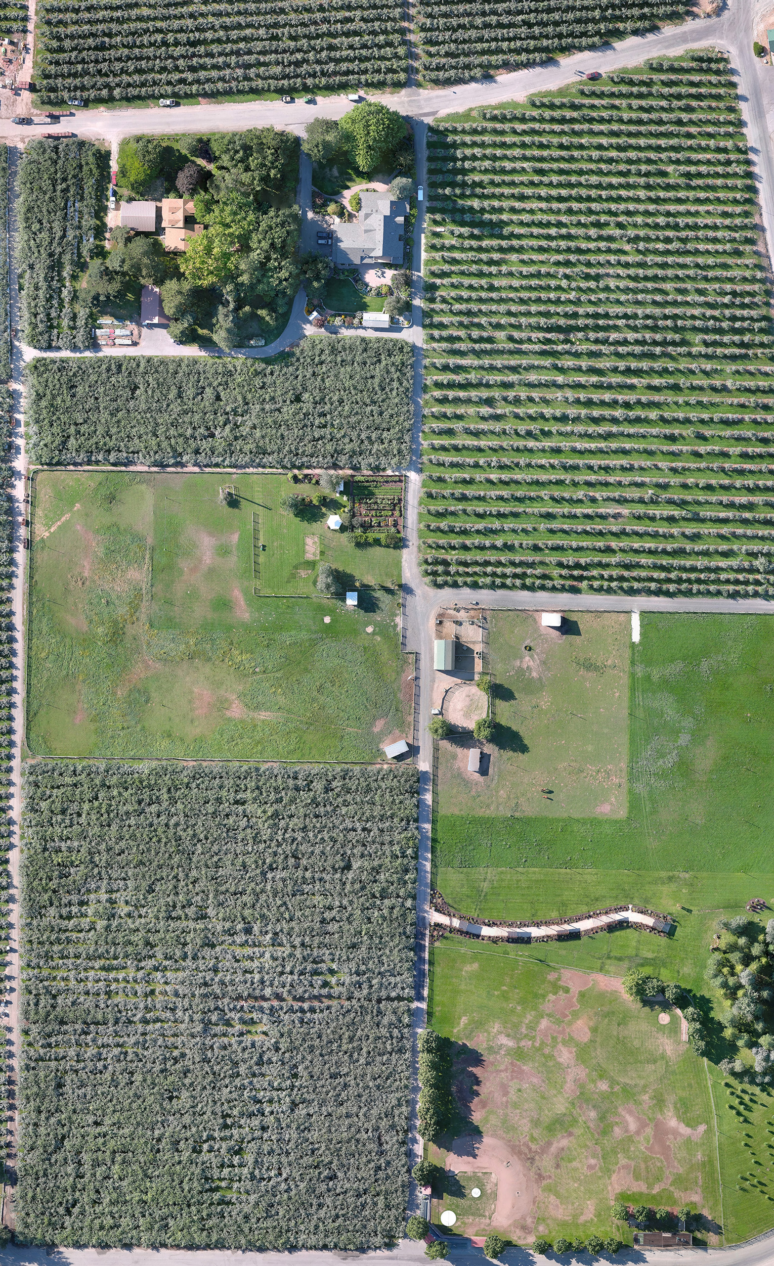
Acreage Photography
Showcasing Large Properties with Drone Photography in Lubbock & West Texas
Real estate drone photography is an excellent tool for showcasing large-acreage properties and farming operations across the South Plains. Our aerial images highlight the scale and unique features of the land, making it easy to communicate its layout and potential. For an added layer of detail, we offer orthomosaic imaging, which creates high-resolution, georeferenced maps ideal for capturing expansive properties. Whether your property is farmland, scenic landscape, or an event venue, our visuals help present its full value to prospective buyers and investors. By capturing the property’s layout and key attributes, we ensure your listing stands out and communicates its potential effectively.
Projects
Check Out Our Work